Hydroseeding and erosion control in Colonial Heights
- Free estimates
- Local crews
- Erosion control and seeding
- 2 permit trigger
Get a free estimate
Tell us where the job is and we’ll get you a local quote.
By submitting this form you agree that Hydroseeding VA may share the details you provide with one or more independent local contractors, and that they and we may contact you by phone, text or email about your enquiry — including by automated dialling or prerecorded message. Consent is not a condition of any purchase and you can withdraw it at any time by replying STOP or telling the caller. Message and data rates may apply. See our privacy policy and terms.
What triggers a permit in Colonial Heights
Erosion control gets treated as a commercial-site problem because the federal threshold is a full acre. In Virginia it is nothing like that, and in this part of the state it is smaller again.
| Rule | Disturbance that triggers it | Note |
|---|---|---|
| Federal (EPA NPDES) | 1 acre | The number most people have heard |
| Virginia, general | 10,000 sq ft | Four times stricter than federal |
| Virginia, inside a CBPA | 2,500 sq ft | Tidewater localities only, and only inside a mapped area |
| Colonial Heights | 2,500 sq ft inside a mapped CBPA, 10,000 sq ft elsewhere (state minimum) | Statutory minimum — confirm with the locality |
What's different about Colonial Heights
Three things worth knowing before you get quotes.
Water on two sides of a small city
Swift Creek runs the northern boundary with Chesterfield and the Appomattox runs the southern one with Petersburg. In a city this compact that geometry matters: the share of parcels sitting in or near a mapped Resource Protection Area is far higher than it would be in a county, and the buffer is 100 feet where it applies.
The Chesapeake Bay chapter also covers your septic tank
Colonial Heights keeps Chesapeake Bay Preservation Areas in Chapter 245 of the city code, and that chapter carries septic tank inspection requirements alongside the land-disturbance rules. It is a reminder that the Bay programme here is not only about what you dig — it is an enforcement chapter with penalties attached.
The Appomattox is the Bay's worst sediment trend
The US Geological Survey reported in 2025 that the Appomattox has seen a 39 percent increase in sediment since 2015 — the largest percentage increase of any waterway feeding the Chesapeake Bay. The city is also named as a responsible party on the Appomattox River bacteria TMDL. Sediment leaving a bare lot here is going somewhere that is already being measured.
Recent work in Colonial Heights
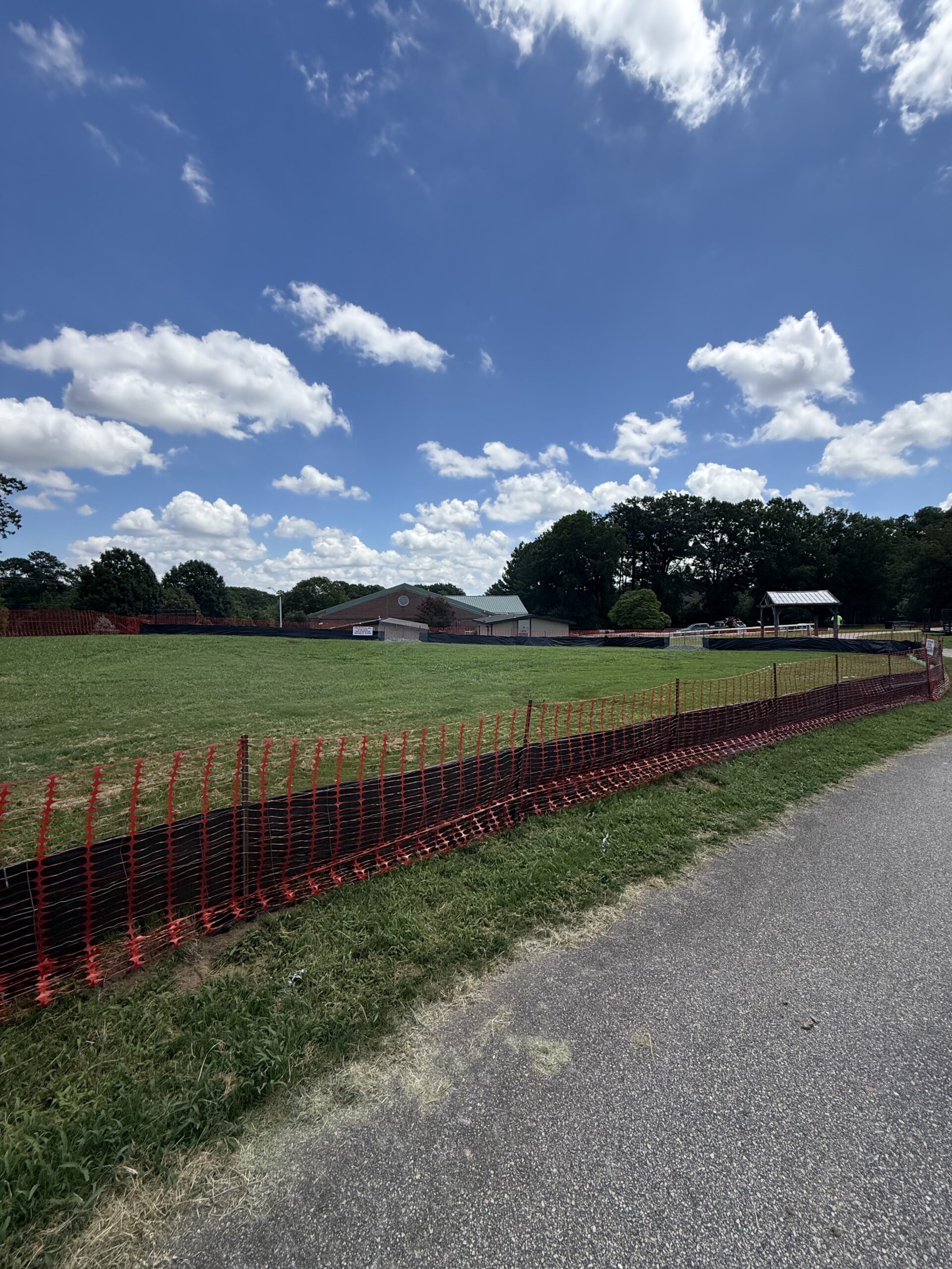
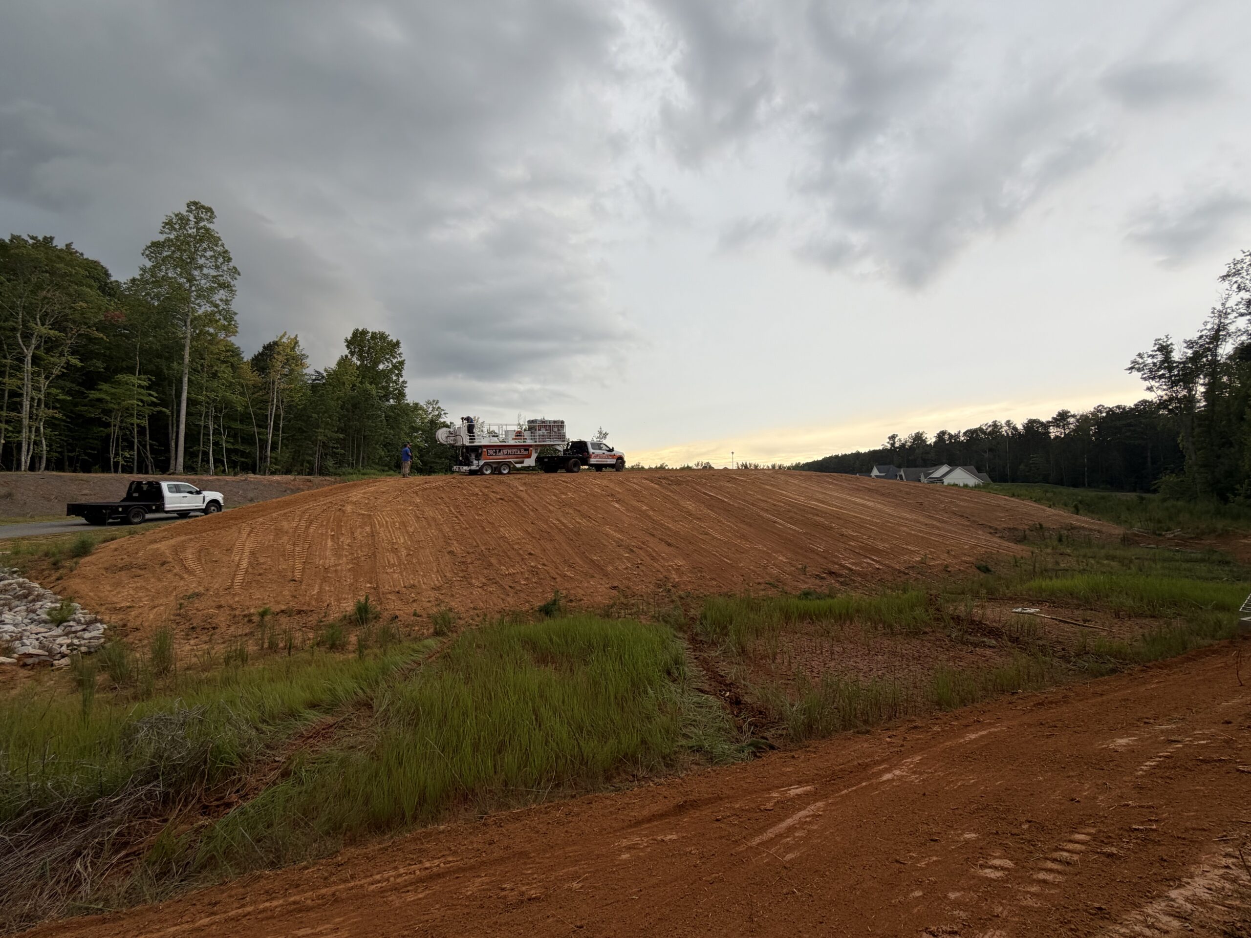
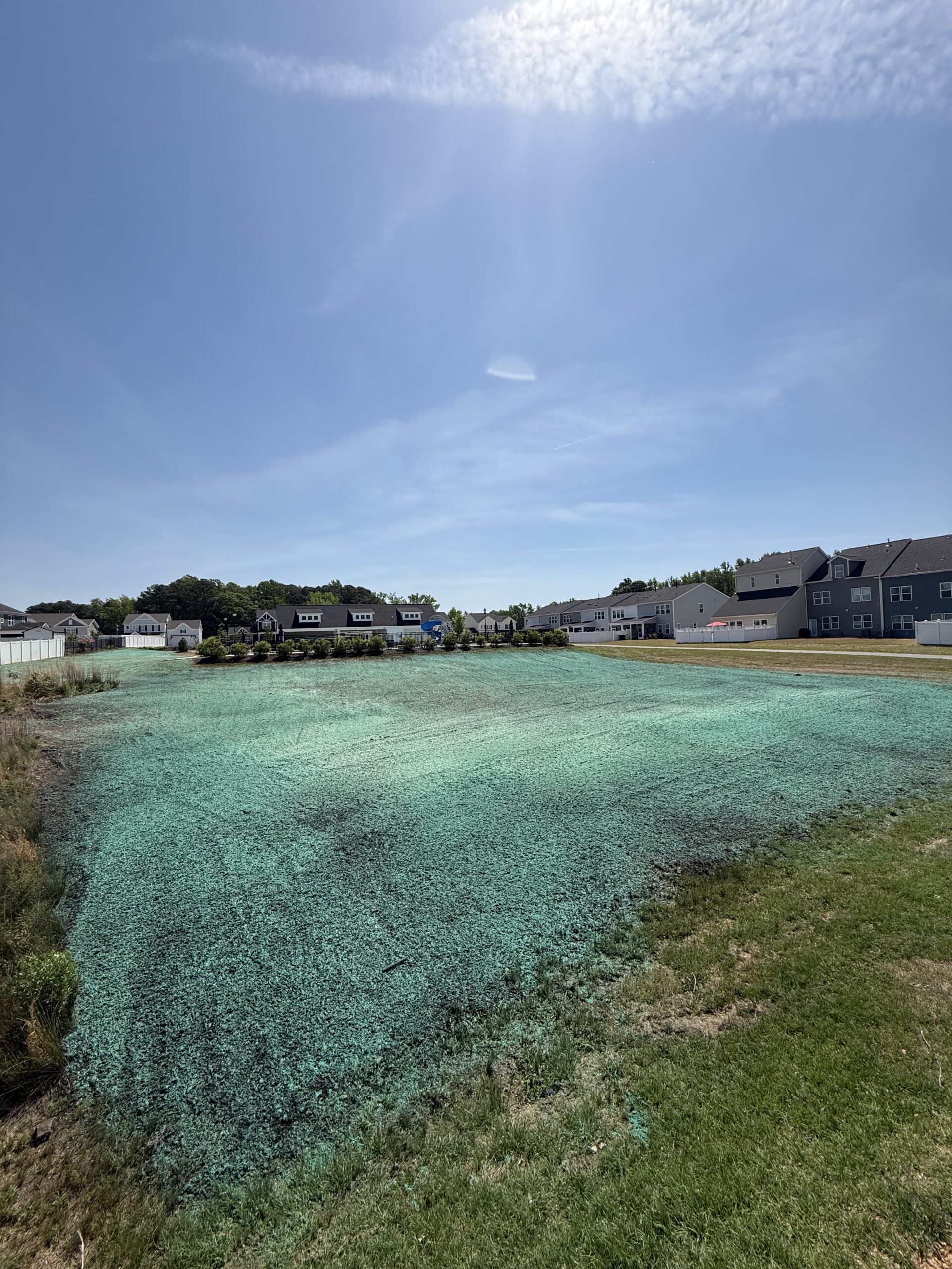
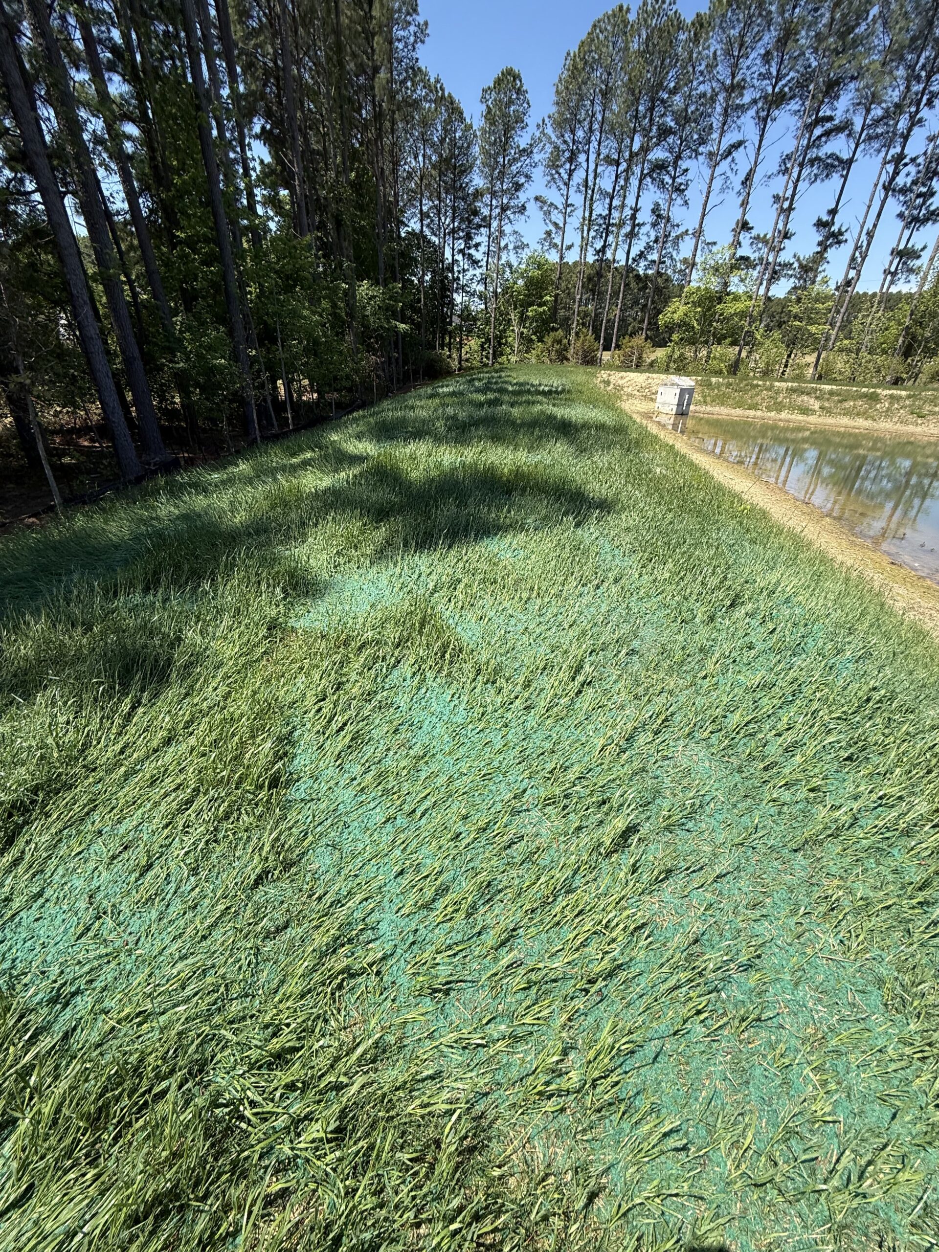
Sandy sites that dry out, gentle ground over large areas, and stands that never filled in.
A small city with a great deal of regulated edge
Colonial Heights is unusual in the metro for its shape. Swift Creek runs the whole northern boundary with Chesterfield and the Appomattox runs the southern one with Petersburg, so the city is a narrow strip of ground between two watercourses. In a county you can be miles from anything regulated. Here you cannot be, and the proportion of parcels sitting in or close to a mapped Resource Protection Area is correspondingly high. Where the area applies, the vegetated buffer is 100 feet, and a buffer that size swallows a surprising amount of a suburban back garden.
The city keeps the two programmes in separate chapters: erosion and sediment control at Chapter 241, Chesapeake Bay Preservation Areas at Chapter 245. Chapter 245 is worth knowing about because it reaches further than people expect. Alongside the land-disturbance rules it carries septic tank inspection requirements and its own enforcement and penalty provisions. That is not a chapter anyone wrote expecting to leave it unused.
Then there is the river itself. The US Geological Survey reported in 2025 that sediment in the Appomattox has risen 39 percent since 2015, the largest percentage increase of any waterway feeding the Chesapeake Bay, and the city is a named responsible party on the river’s bacteria TMDL. None of that changes what a homeowner needs, but it does explain why the inspector cares. Bare soil on a Colonial Heights lot drains into a river that is already on a list.
Bare ground to established lawn
Drag the handle. Bare Coastal Plain sand on the left, one growing season later on the right.
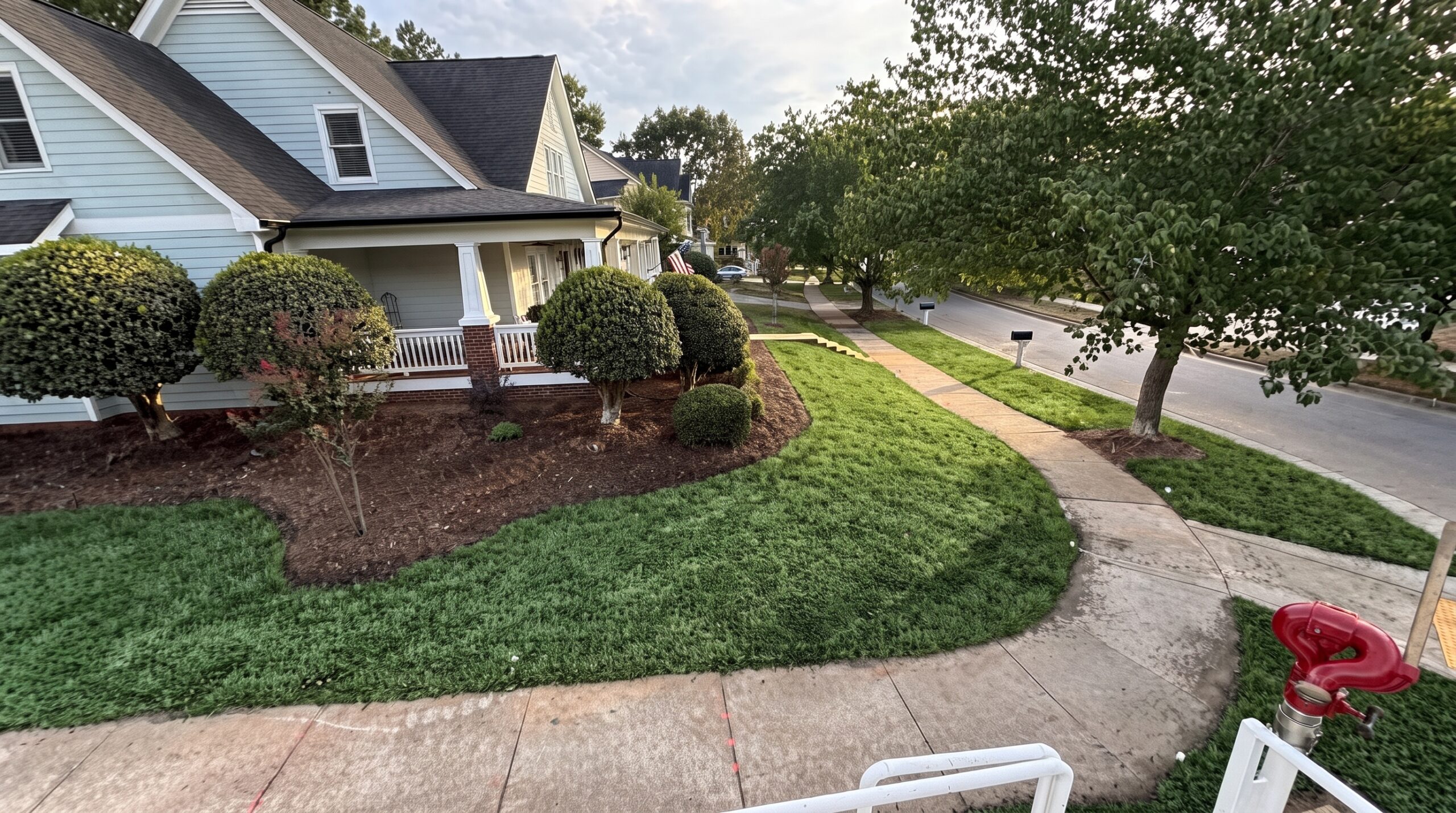
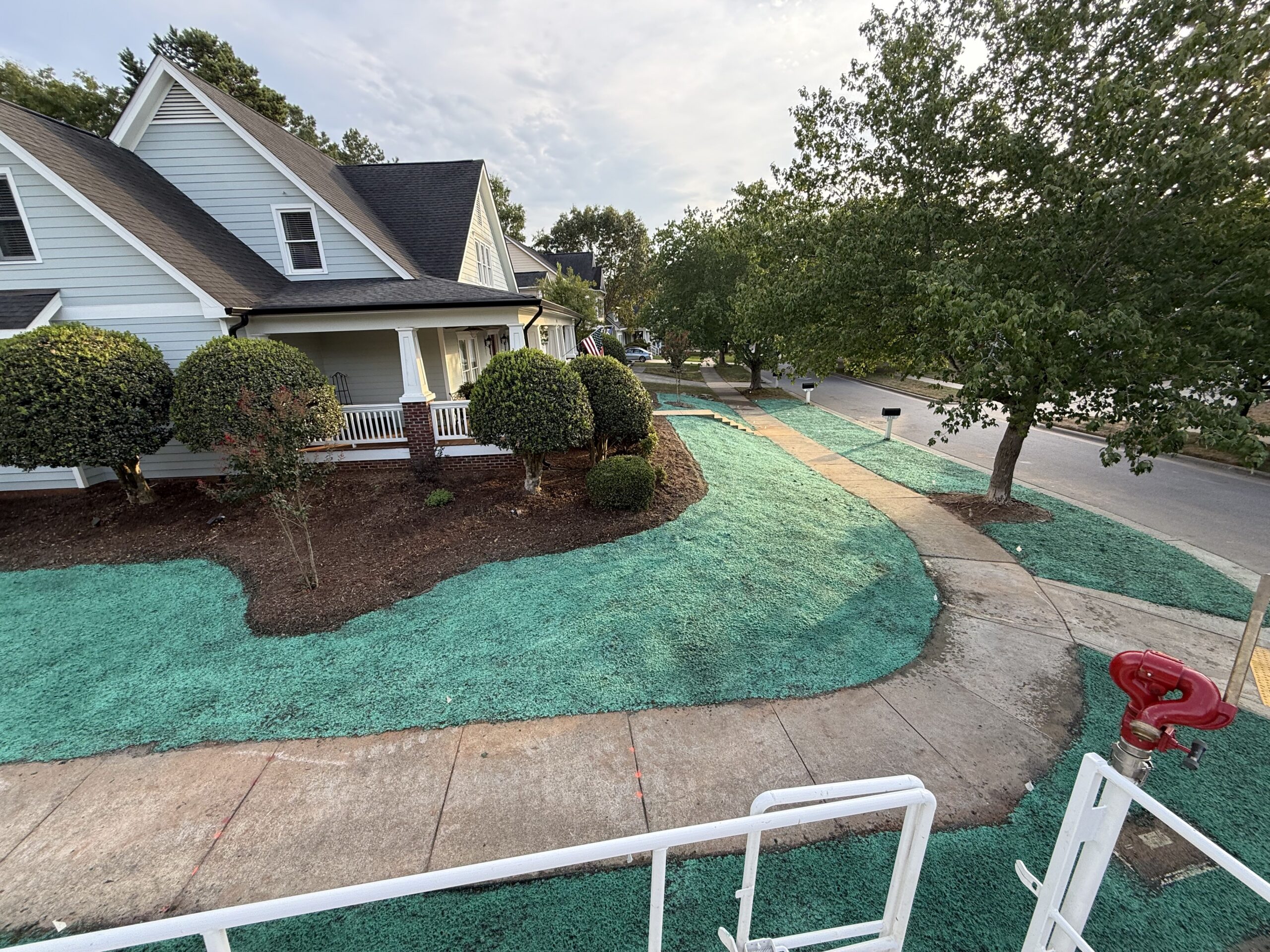 BeforeAfter — one season
Hydroseeding vs sod vs hand seeding
On sand the difference is whether the seed stays damp long enough to germinate.
| Hydroseeding | Sod | Hand seeding | |
|---|---|---|---|
| Cost per sq ft | $0.20 – $0.45 | 3 to 5 times higher | Cheapest up front, most likely to need doing twice |
| Holding moisture | Mulch mat holds water against the seed on droughty ground | Needs heavy irrigation to knit into sand | Seed dries out before it germinates |
| Gentle ground | Covers large flat areas quickly and evenly | Workable, but the cost gap widens with area | Patchy where the surface dries first |
| Sandy subsoil | Organic matter can be added with the slurry | Needs topsoil underneath to survive | Struggles without amendment |
| Grass choice | Any blend, matched to soil and light | Whatever the farm grew | Any blend |
| Usable lawn in | One growing season | 2–3 weeks | One to two seasons, patchy |
From tank to turf
Spray day in Colonial Heights, the fortnight after, and the result a season on.
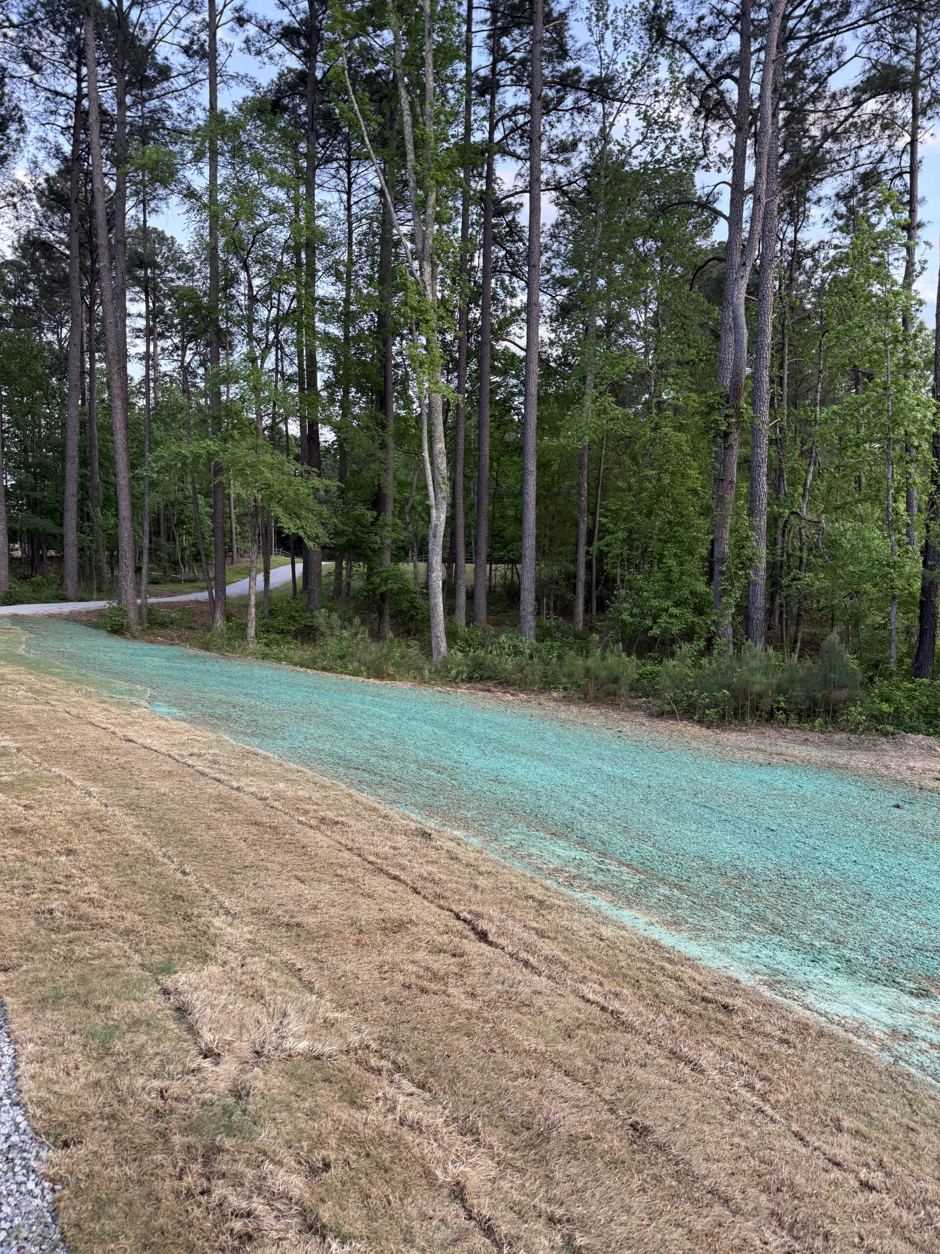
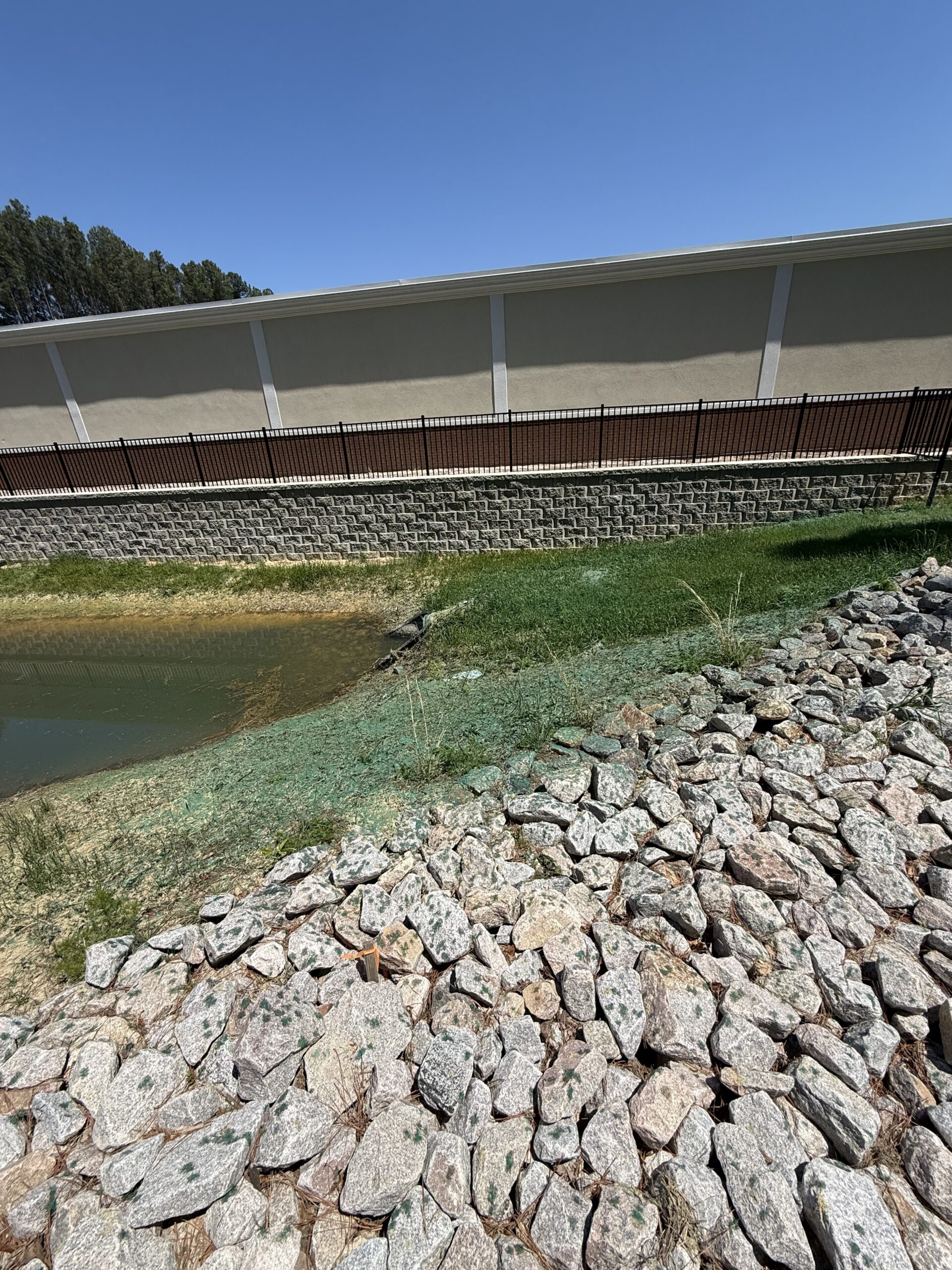
The paperwork in Colonial Heights
| Item | Detail |
|---|---|
| Permit | Land Disturbance Permit — City Code Chapter 241, Erosion and Sediment Control |
| Administered by | Department of Public Works, City Engineer's office — (804) 520-9334 |
| Chesapeake Bay Preservation Area | Yes — mapped areas only |
| Ground | Coastal Plain, immediately east of the fall line |
| RPA buffer | 100 ft vegetated buffer where mapped |
Work we cover in Colonial Heights
Sandy ground changes what works. Tell us which you need and we’ll get you a local price.
Colonial Heights questions
How much of Colonial Heights is in a Resource Protection Area?
More of it than in a county of the same population, because the city is bounded by Swift Creek on the north and the Appomattox on the south. We cannot tell you whether your parcel is inside the mapped area — the city publishes that map and the map is the authority — but in a city this compact it is worth checking rather than assuming. Where it does apply the vegetated buffer is 100 feet.
Which city chapter covers this work?
Chapter 241 is erosion and sediment control and Chapter 245 is Chesapeake Bay Preservation Areas. Chapter 245 also carries septic tank inspection requirements and its own enforcement and penalty provisions, so it is a live chapter rather than a formality. Public Works administers both; the City Engineer’s office is on (804) 520-9334.
Why does sediment matter so much on the Appomattox?
Because it is being measured and the trend is bad. USGS reported in 2025 that the Appomattox has seen a 39 percent increase in sediment since 2015 — the largest percentage increase of any waterway feeding the Chesapeake Bay. Colonial Heights is also a named responsible party on the river’s bacteria TMDL. Getting cover onto bare ground quickly is the whole point of the exercise here.
What changed in Virginia in 2024?
The state consolidated erosion and sediment control and stormwater management into a single Virginia Erosion and Stormwater Management Program on 1 July 2024, and from 1 July 2025 all plans follow the new handbook. A contractor still describing a VSMP as a live local programme is working from old information.
Hydroseeding near you in Colonial Heights
Places we quote in Colonial Heights. If your address is inside the city, we cover it.
- Dunlop Farms
- Ellerslie
- Sherwood Hills
- The Boulevard
- Temple Avenue
- Southpark
- White Bank Park
- Shepherd Stadium
- Swift Creek
- Appomattox riverfront
Colonial Heights on the map
Colonial Heights sits east of the fall line, which is why the method here differs from the other side of the metro.
Get a free Colonial Heights estimate
Tell us the address and roughly how big the job is. You’ll have a real price from a local crew, usually the same day. No obligation.
Ready when you are
Tell us what the site needs and roughly how big it is. We’ll match you with a crew that works your county and get you a written price.
- Call
- (757) 936-8185
- hydroseedingva@gmail.com
- Where we work
- Richmond city, Henrico, Chesterfield, Hanover, Goochland, Powhatan and New Kent
Get a free estimate
Tell us where the job is and we’ll get you a local quote.
By submitting this form you agree that Hydroseeding VA may share the details you provide with one or more independent local contractors, and that they and we may contact you by phone, text or email about your enquiry — including by automated dialling or prerecorded message. Consent is not a condition of any purchase and you can withdraw it at any time by replying STOP or telling the caller. Message and data rates may apply. See our privacy policy and terms.